2013, May 24th
Black canyon
We had heard about it a couple of years ago. An awesome spot, according to all who had been there. A true oasis in the Arizona desert.
Located near Wickenburg (hwys 60 & 93, N.W. of Phoenix), it is easily reached, being just off paved Rincon rd…
But who wants to do that??
Driving No4 across the desert on unmarked trails and old stage coach roads sounds much more fun!
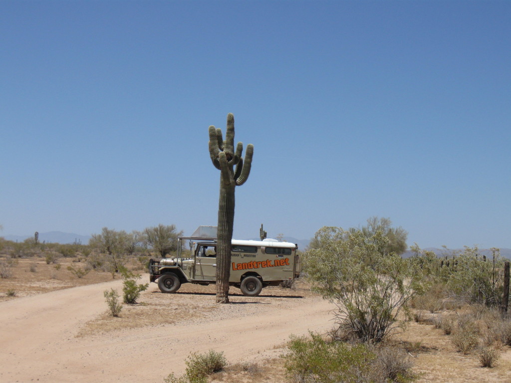
All the more interesting with an “iffy” engine, of course…
“Don’t worry honey, we’ll stay as close as possible to the main highway, that way, if we have to walk…You know…”
Of course she knows…
Out of Wittmann, we first head west then north towards Morristown.
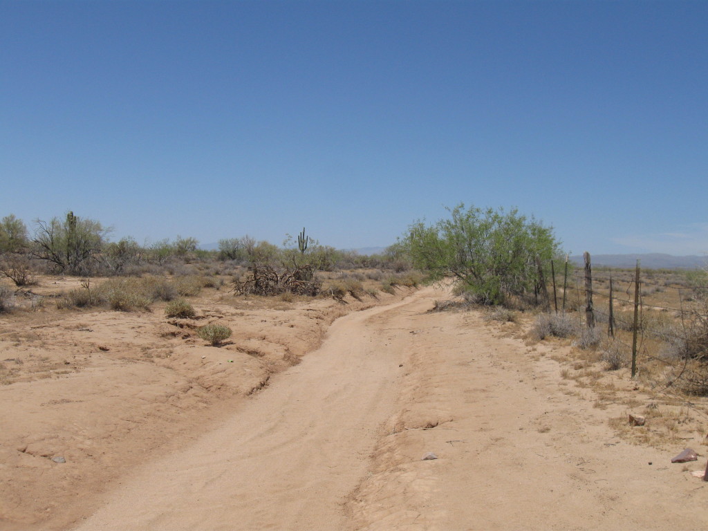
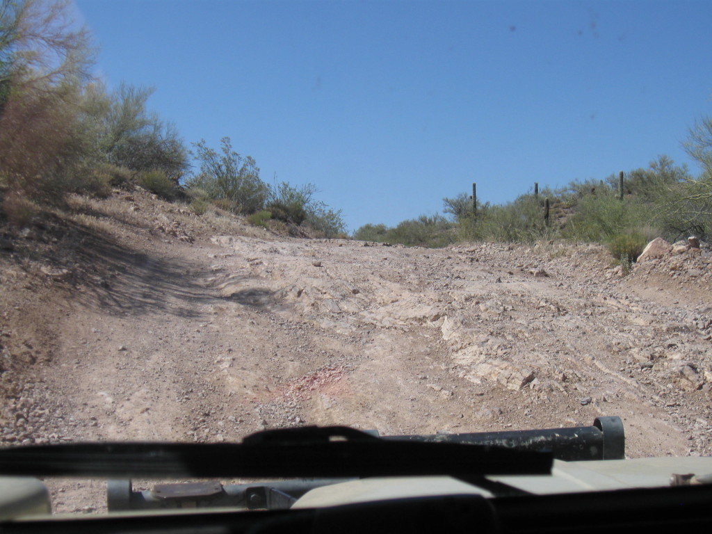
Trail condition varies from this:
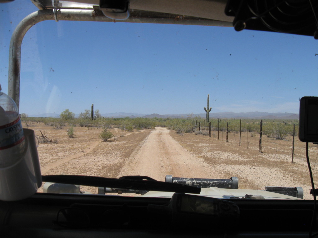
It’s close to twelve noon already and HOT! But it’s OK, we love the desert.
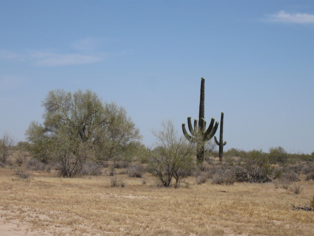
We navigate roughly to the north, open and close back a couple cattle gates and finally reunite with pavement in Morristown where we cross hwy 60. The old 2H engine still purrs like a kitten and so our confidence is building back up. Let’s push on.
Once to the east side of 60, all I know is I should take a left off of Castle hot springs rd onto what appears to be the second “road” I’ll meet. An old mining road appropriately called N. Mine rd…
First road, pass. Second road, I turn left but then N. Mine rd goes east and I need to go north towards Wickenburg so I keep going straight on what soon turns out to be an old stage coach road from waaaaaaay back when.
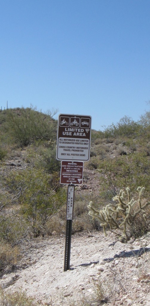
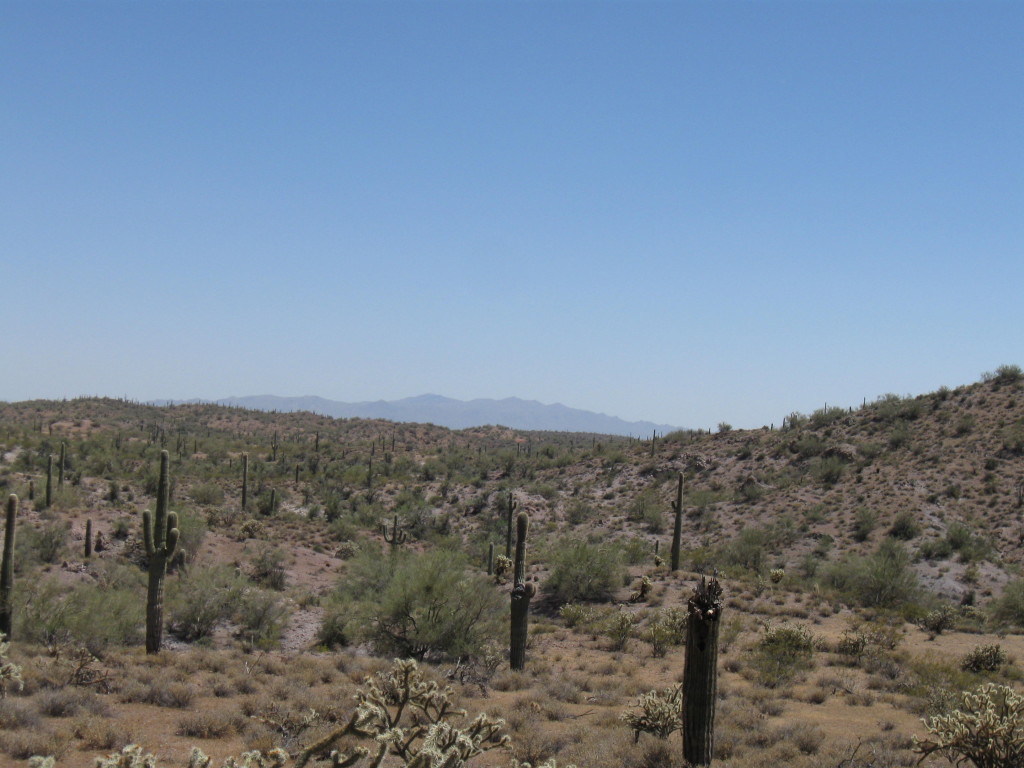
The scenery changes significantly this side of 60. What was flat sandy land now has turned rocky and hilly.
This section of trail is interesting and the going gets very, very slow. Like low range, 1st gear.
We realize that, although not too far from the main highway as the crow fly, it would be a looooong and laborious way if we had to walk back in this sun and heat. But we have plenty of water and our trust is back so we push some more.
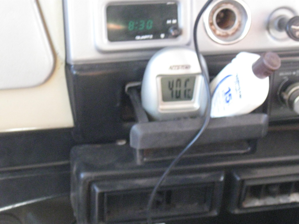
Don’t mind the clock…It’s not 8:30 but it is definitely 40,1*C (104,8*F) inside the cab. Time for a break in the shade at the bottom of wash.
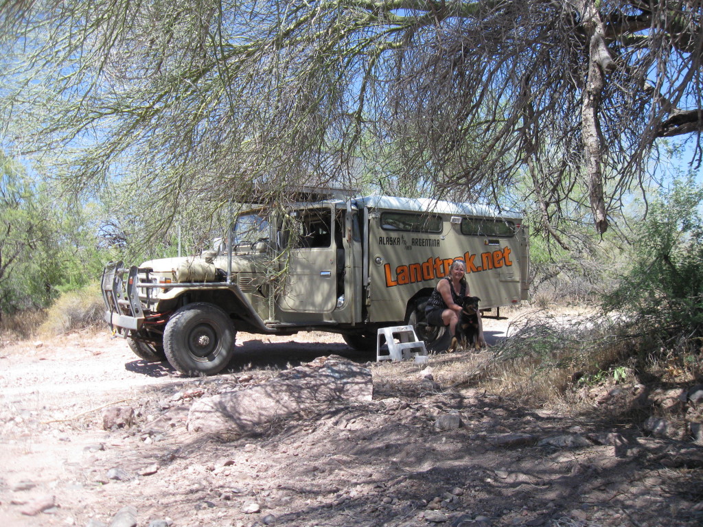
A group of ATVers coming from the opposite direction confirm that we are still “quite a ways” from Constellation rd but, at least, we’re heading the right way.
This trail is turning out to be much more challenging than expected. Knowing the precarious condition of our engine, I was looking to use easy and slow dirt roads instead of fast paved ones to get to Black canyon.
France: “Well, you got half of it right: This stage road is slow all right…”
If the engine should quit completely, only a very capable 4X4 would be able to haul our 7000 lbs ass out of here, provided we could reach someone who owns such a 4X4… Of course, this is 2013 and we could use our cell or sat phone to call on someone for help… That’s if we had one of those… Our Canadian cell doesn’t work in the US and following the experiences we had with our Globalstar sat phone, it stayed right at home. That said, if the 2H should start knocking again, I would drive it for as long as it would move. Sorry No4 but I’d rather see your engine die than ourselves.
We eventually make it to Constellation and then veer off to the right on Blue tank rd which, according to the map, looks exactly as easy as Stage rd…
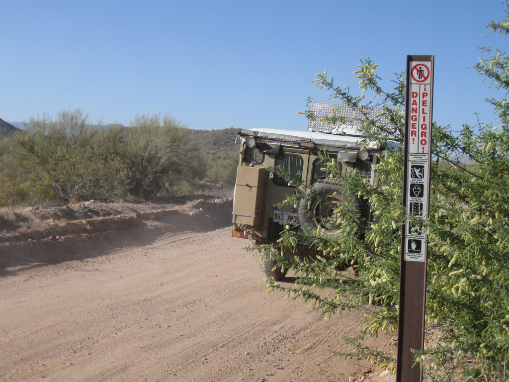
Peligro:
Mine shafts, deadly gases, broken ladders, unstable explosives and deep water holes, cool! Just our cup of tea!
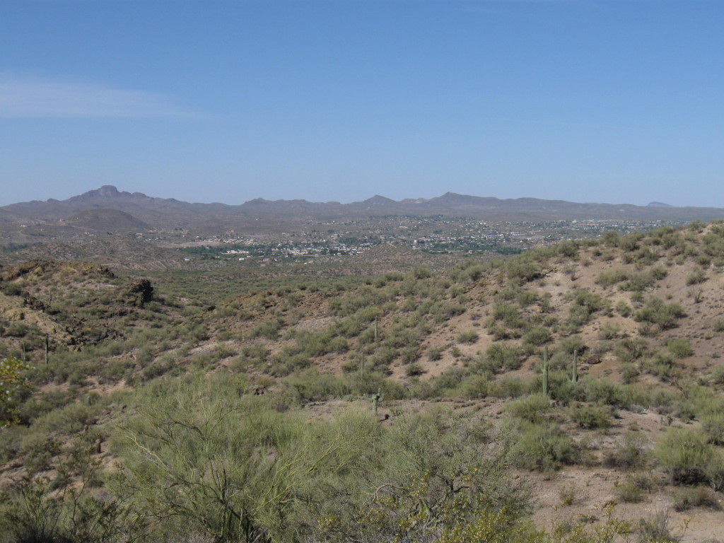
We find a spot with a view atop a hill… (Wickenburg down there)
