Thank you.
First of all, I’d like to thank the president of the United States of America.
Thank you for not letting us become U.S. citizens.
Because if we did, we’d become instant alcoholics!
Are you kidding? At $8.00 for 24, there’s no doubt about it!
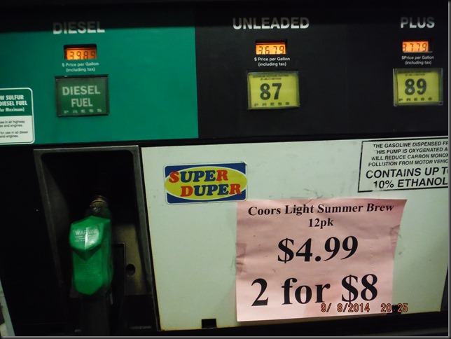
At the Sumas, Wa border.
Customs officer: “And you are going to Argentina with… This vehicle??”
M: “Euuuhh, yeah, sure…”
C.O: “Good luck… Have a nice trip!”
23 minutes in line; 2.3 minutes at the booth and we’re off!
And then, soon as you leave the border, it hits you, boom, in the face!
How can they keep the price of beer so loooooooowww???
Diversity…
…Is the key word out here. Diversity in price as well as in scenery…
Due to the extreme agility and power of No4 (…), we decide to stay away from interstates and use as much single lane highway as possible. So, out of Sumas, we try to follow highway 9 but keep getting re-routed back to I-5…
So we take it. But only to Everett where we jump on highway 2. And, from this point all the way to Boise, Idaho, we’ll remain on single lane roads. Single lane highways also allow for much more interesting photo taking.
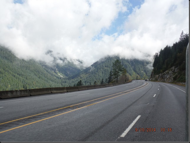
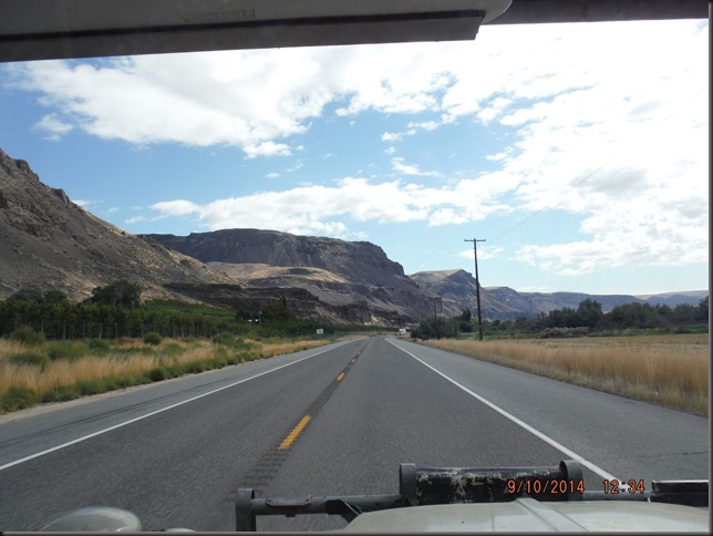
The following photos were all shot within a single day’s worth of driving No4 (sloooowww) and all within the state of Washington…
…And following along rivers in the morning…
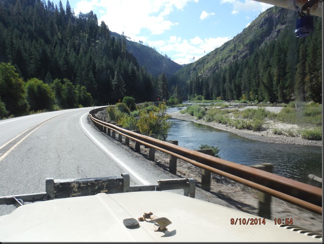
…To agricultural fields, in the early afternoon…
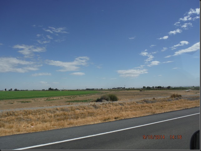
…To very dry, desert looking hills at dinner time…
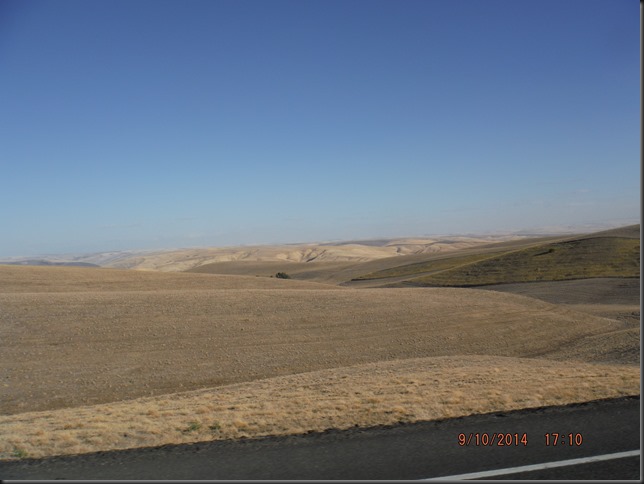
…To our our camp spot for today near Snake river. (shot taken the next morning)
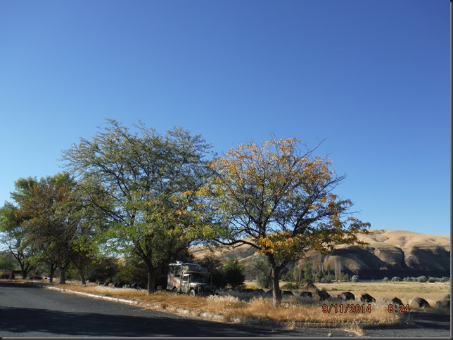
We find Idaho, and then Utah, and then Arizona, to be just as impressively diversified as Washington state is. Although, I must say we were familiar with the latter three, having been there before (see quadtrek.net).
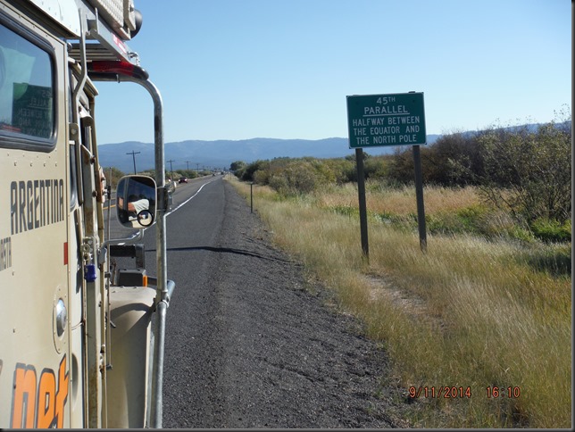
Another milestone.
I suppose being halfway between the north pole and the equator would put us about 1/4 of the way into our trip, wouldn’t it? Close enough for me anyways.
Setting up camp along Payette river on highway 55, north of Boise, Id.
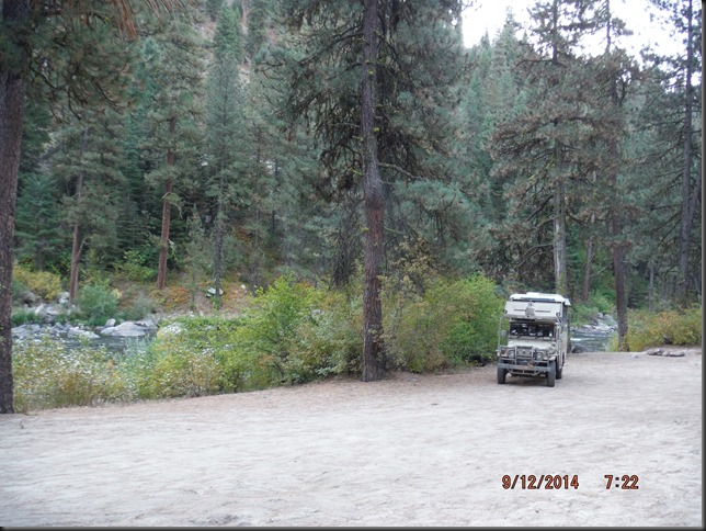
In the morning, we drive in the canyon surrounding the Payette…
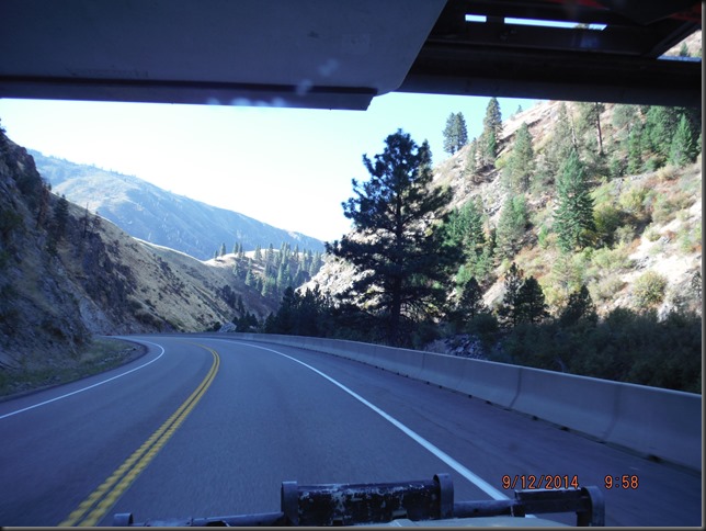
And suddenly, the canyon flattens out… (9:58am vs 10:19am)
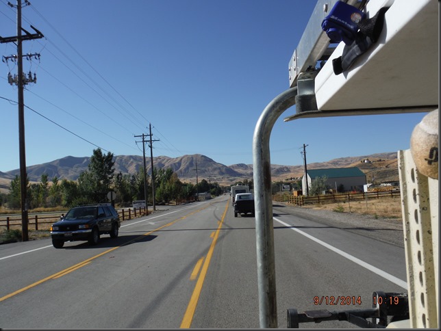
…And we’re in Boise. From there, we decide to take I 84 to I 15 as we don’t see any smaller road that would take us the way we would like to go.
We make relative good time on I 84 but our main issue is finding an interesting and “secluded” place to camp right off the freeway…
We look and look again but it’s mostly either farmland or there’s no exit to access the “desert”.
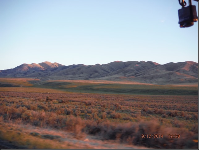
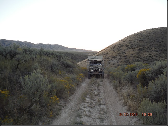
On the map, it looks like there would be a small service road to the east of I 84 so I take exit 254, jump over the freeway but keep going on a little trail instead of taking the road and bingo: Welcome to BLM land.
This is about 1/8 of a mile from the freeway!
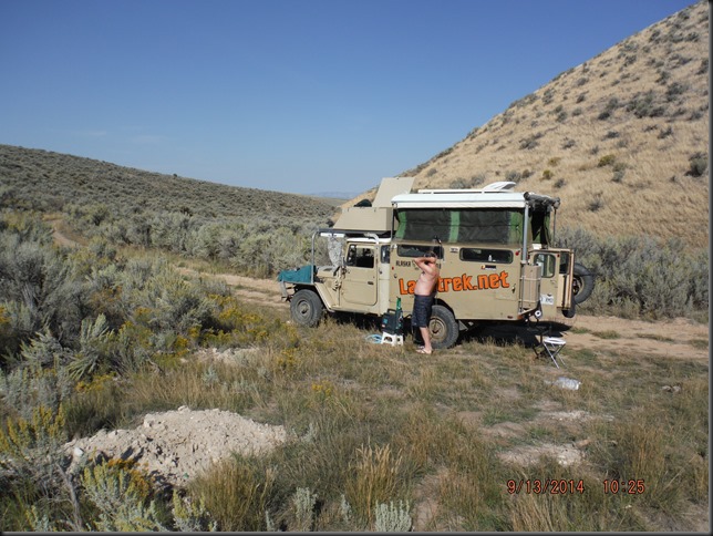
Secluded enough to have your shower in the morning!
The heat is punishing today as we drive I 15 through Salt Lake city and that’s no fun. But soon Utah rewards us with some of the greatest scenery so far on the trip.
Welcome to a Utah break in the shade.
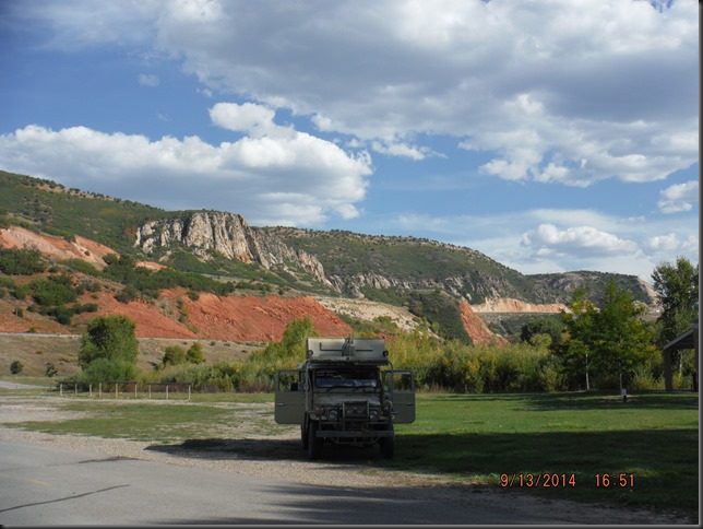
We stop again shortly after Provo as the three of us are spent.
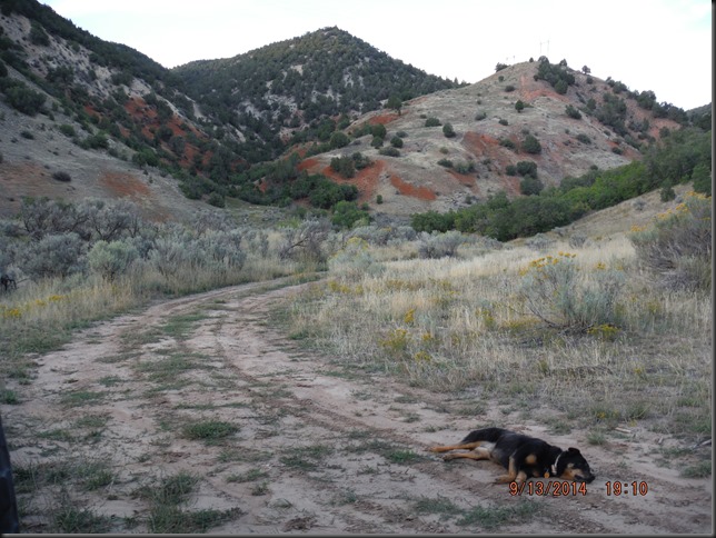
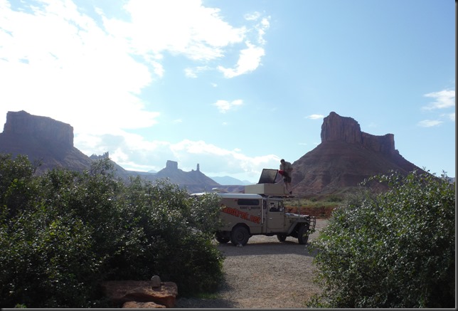
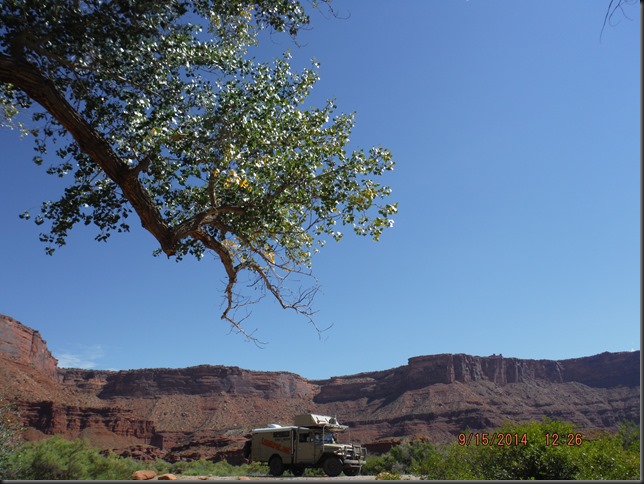
We had been to Moab, Utah before and, as a result of a mistake/misunderstanding, ended up going again. Moab is the Mecca of all things off road and home to both Canyonland and Arches national parks; neither of which we’ll visit this time.
You know why (if not, see here)
We’re always looking to make our lives more exciting. That’s why we pick this spot with the sign that says “No camping”. Nice.
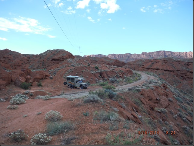
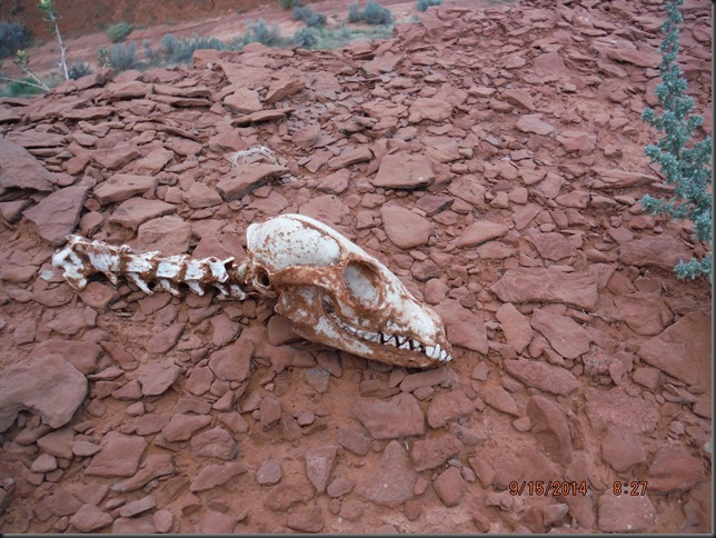
Could this be the last guy who got caught camping here?
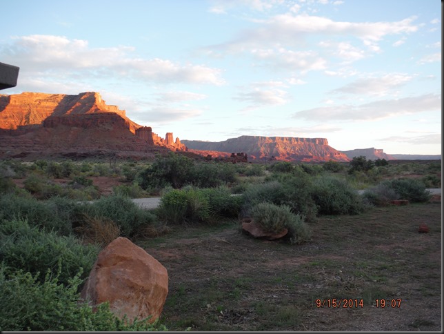
Although we originally had no intention of even coming here, we enjoy the place so much we decide to spend the day. That’s the beauty of having NO SCHEDULE ! That’s the beauty of this trip.
On highway 128, just north of Moab.
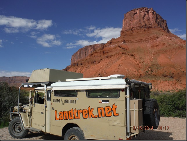
And another beautiful day spent doing… Not much… Comes to a close…
——————————————————————————
Today, sept. 18th, we hit one of Moab’s laundromats and make good use of our time, for a change… Marc types the day away on the computer while France is busy doing laundry.
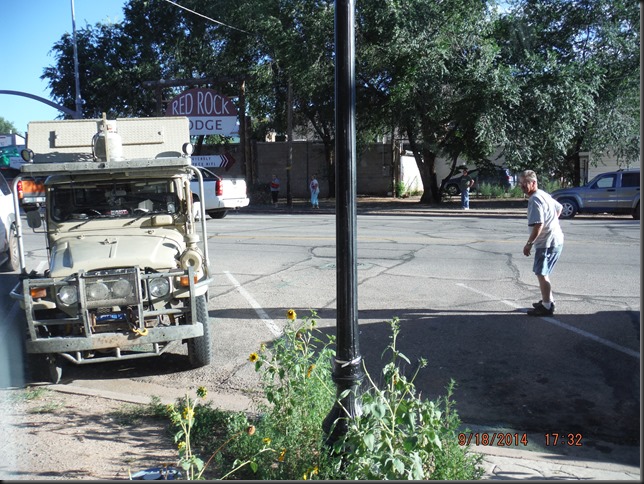
Mean time, No4 works on building up his fan club some more.
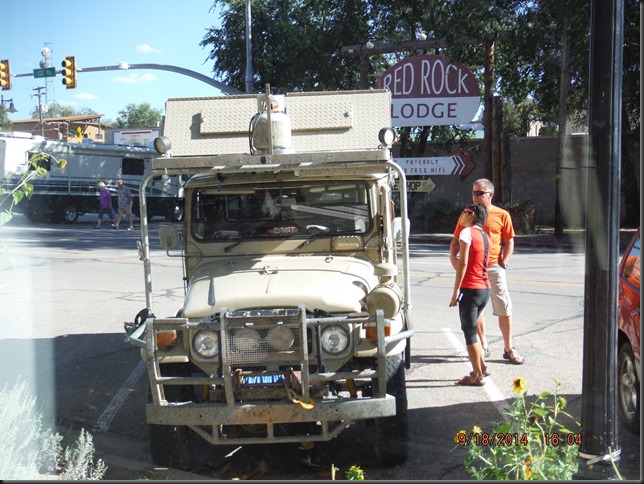
Upon recommendation of one of No4’s fan club member, we decide to go explore Butler wash which can be accessed right off of highway 163 between highway 191 and Mexican hat rock.
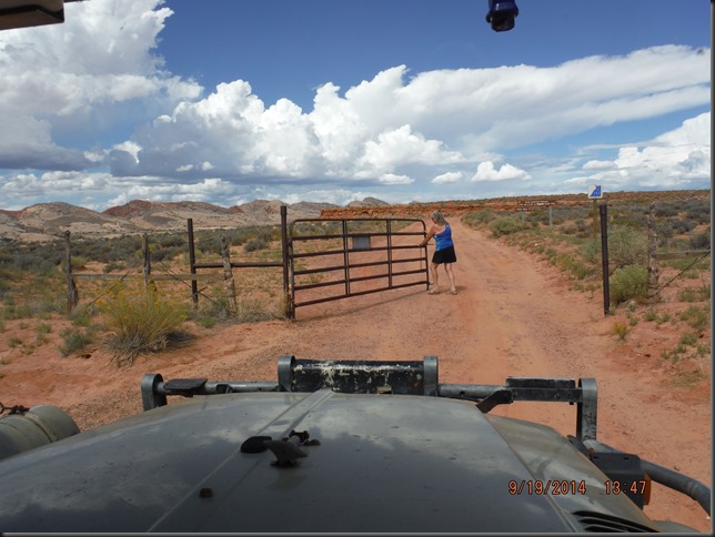
From what we hear, the place is full of petroglyphs and pictograms dating back thousands of years. There are also many indian ruins to be seen here. Interesting stuff.
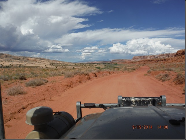
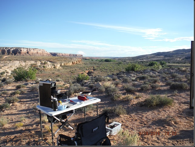
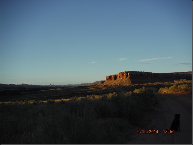
We drive for a couple of miles and enjoy the nice scenery a lot but we don’t get to see any ruins or indian paintings or anything like that so we find a place to camp and walk down to the bottom of the wash to see if we can see something there.
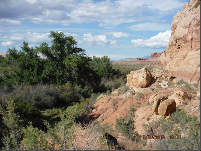
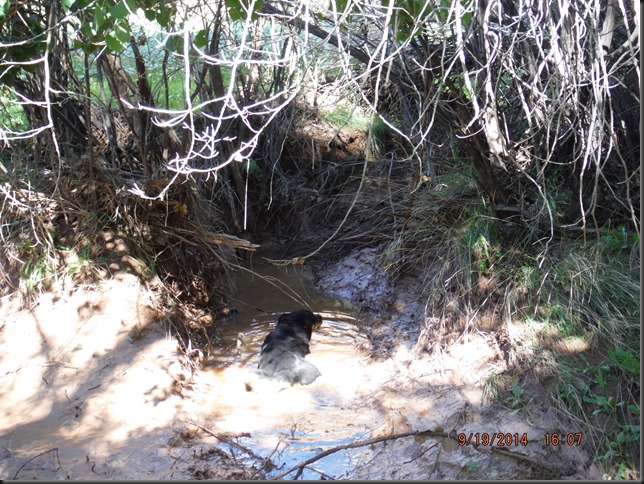
It’s getting steaming hot at this time of the day and Minnie is the first one of us three to find something of interest… To her.
AAaaaah! There’s nothing like dipping in a puddle full of muddy water! Happiness!
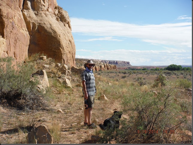
Soon, we return to camp, cameras empty handed, as our hunt for artefacts was unsuccesful…Today.
——————————————————————————
Every now and then, and especially on a trip like this, you’ll get to meet somebody who’ll make a big impression on you, maybe even impact your life in an unsuspected way.
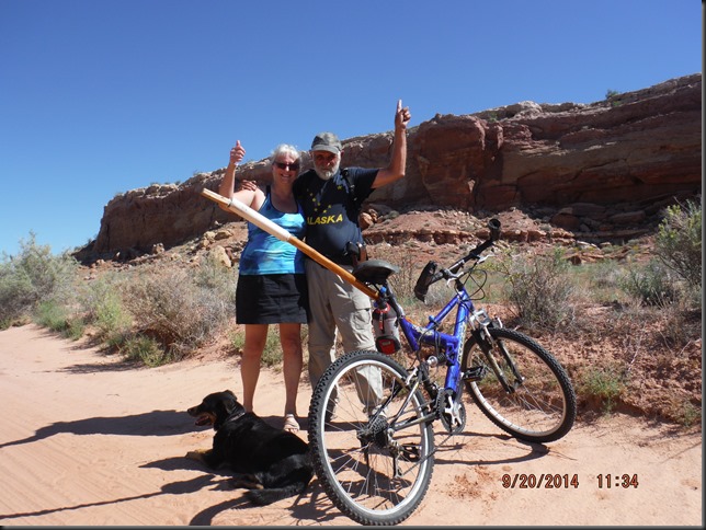
As we drive out of the wash, we see somebody coming in the opposite direction… On a bicycle. It’s 11:00 am, probably close to 90*F (32*C).
The closest town is about 15 miles away. A guy riding a bicycle here can only be a local, we tell ourselves. Maybe he knows where we can find ruins?
As we see him coming we think he’s probably some young guy looking for extreme action mountain biking or something.
But no.
This guy is older. Quite a bit older.
Chuck isn’t quite a local, being from Arizona, but he’s been exploring the area, and particularly this wash, by bike and on foot, for more than 10 years.
Think he knows where the ruins are? I think so.
He explains that tourists rarely get to see any of most interesting stuff here, except for the scenery (…), as they pretty much never get out of their air conditioned vehicle.
Exceptional sights need to be earned, as he puts it. You need to be willing to put in the effort to get to see the best, the rarest, the most interesting places.
That’s why he explores on foot. Taking the time to look for things.
And finding some.
He shows us photos of one of the most spectacular ruin site he’s found. Some ruins of either a house or some fortified building nested atop a 100 feet tall rock formation. What makes it so special is the fact that the rock formation is standing alone, completely disconnected from the cliff behind it. The only way to build anything up there was to climb along the formation and then find a way to get the rocks up to you…
To Chuck, finding places like that one makes it all worthwhile.
He’s well aware he’s taking risks. There are rattle snakes, there’s the extreme heat, the lack of water, etc… But, he’s wiling to face these risks to be where he loves to be the most. Here.
To some extend, Chuck’s in the same mindset as we are. We KNOW we will be facing risks, here in this desert of course, but more so when we’re down in Mexico and Central/South-America. But they are calculated risks we are willing and ready to face to travel abroad.
Hope to see you again Chuck, either here, there, or in the air.
Minutes later, we get to meet yet another nice couple, Catha and Ron with their white VW syncro Westfalia. It was nice meeting and chatting with guys!
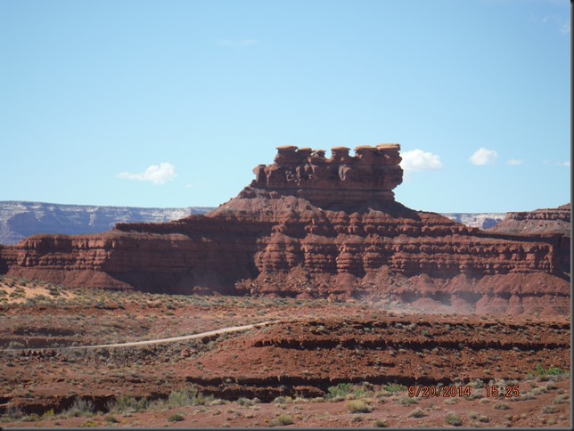
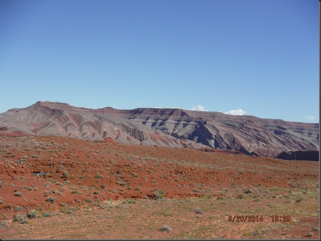
Out of the wash and back on the road, we enjoy lots more cool rock formations. Utah rocks, literally.
All these within 20 minutes of driving…
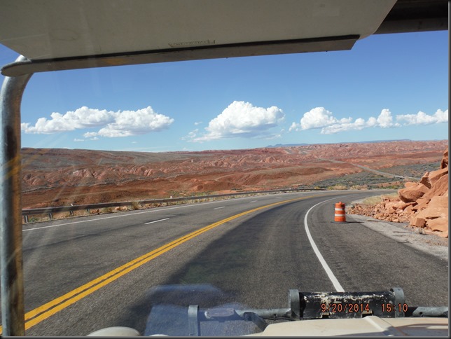
No, Marc hasn’t switched religion.
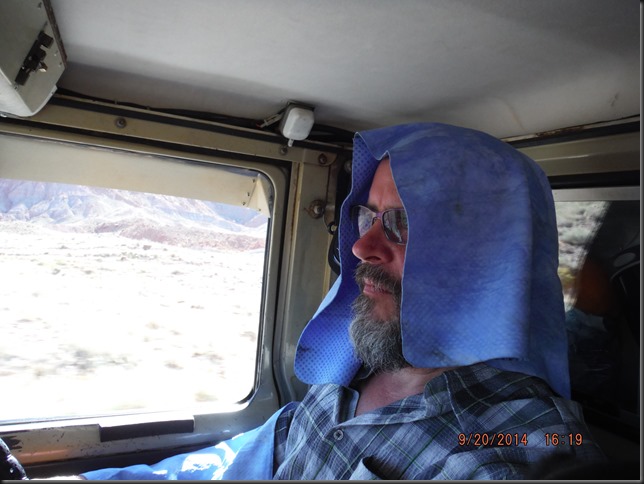
It’s getting warm again in the cab so time to turn on the (prehistoric)A/C. Wet cloth, wear cloth, aaaahhh, coolness…
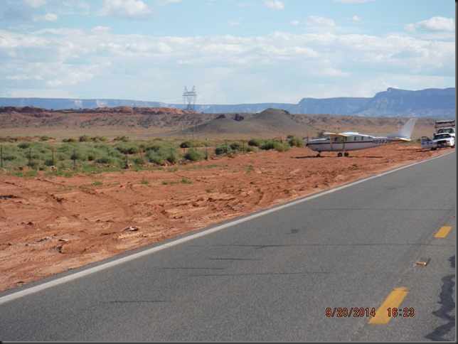
We come up to a temporary road sign that reads “Accident scene” so I let off the accelerator (Should I really go even slower?!).
Turns out it’s a small airplane stopped just by the side of the road.
I decide the pilot had some major problems and was forced to land ON the road but was able to “park” by the wayside. That must have been scary! Matter of fact, I think I can smell sh.. as we drive by the plane…
——————————————————————————
Highway 89 brings us to highway 89A and through Sedona and
Jerome…
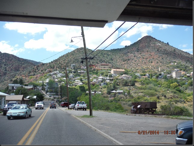
Jerome, home of roof line high pavement.
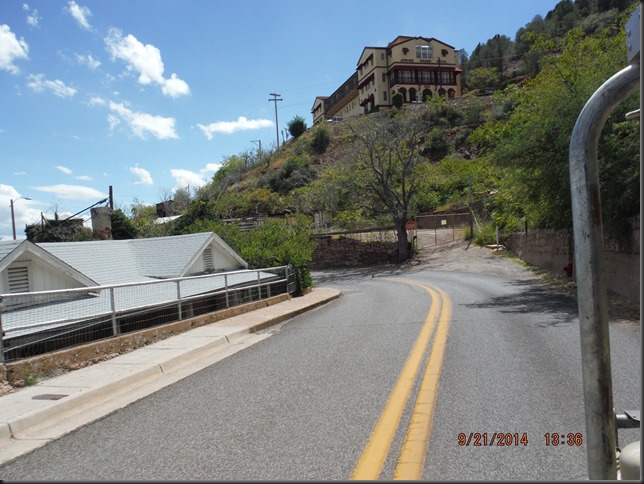
Jerome, home of second gear climb to the top of town… Traffic is backing up behind us but they’ll have to wait. If we stop on this incline, there’s no way Marc will ever be able to shift from first to second gear until we reach the top!
Out of town we’re not out of the woods yet as Jerome sits at 1570 m (5200 ft) only while the top of the mountains it sits on is at 2142 m (7000 ft) elevation !
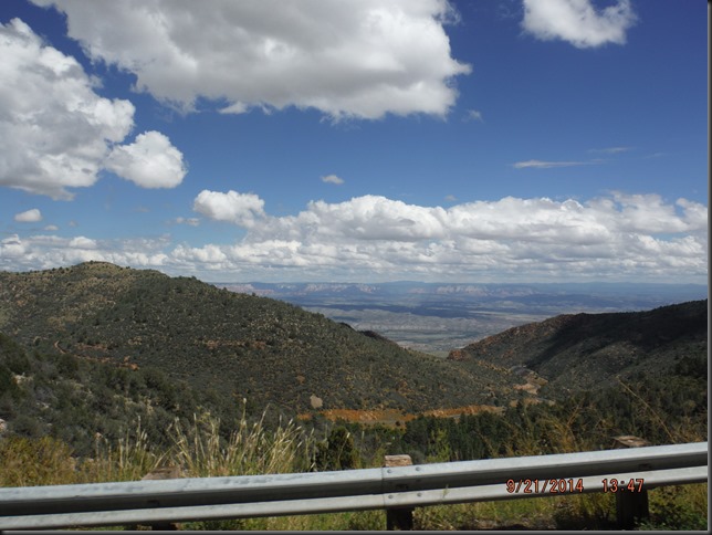
That’s a looooong ways in second gear…
When we get to Yarnell, Az, it feels like we’re dropping off of the edge of the planet. Within just a few miles, we are back down to 800 m (2500 ft).
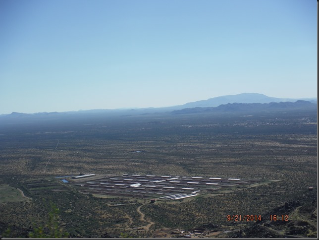
We’ll hit the bottom of the valley as we near Phoenix and get as low as 400 m (1300 ft)… And 38*C (100*F).
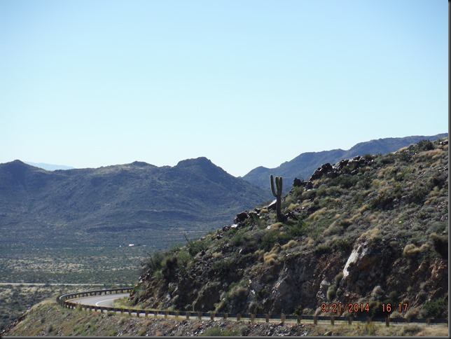
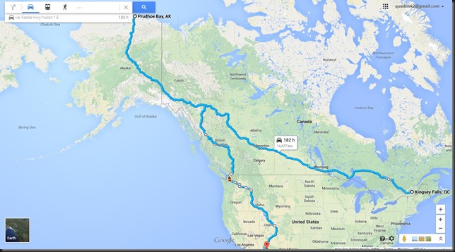
Now in Arizona, we realize how much ground we actually covered since we were in Prudhoe Bay not too long ago. 7690 kms (4768 miles) to be exact. Looking at the calendar, you wouldn’t say we were driving down, you think we’d been literally falling down from Alaska!
Yes we have covered some distance, slowly but steadily and so we will now take a little break (+/- 2 weeks) with our good friend Dave. Those of you who followed our ATV Adventure will surely remember Dave.
Soon as we get here, it becomes obvious that Dave will instantly become our biggest sponsor, by far! I will not elaborate on the details, I’ll just extend a huge THANK YOU to you Dave for your generosity. Please know that it is much appreciated.
Arizona will be the last of the United States we drive through before the second leg of our Adventure.
Canada & USA: Check!
Landtrek Adventure’s first leg: Check!
Coming up: Mexico and Central America.
Should be exciting.
Stay tuned…

